


Amarillo
Tom
Super Poster
VIP Member
Unable to tour in our Cali, I've started a tour on foot - the London Loop.
London has three waymarked orbital footpaths.
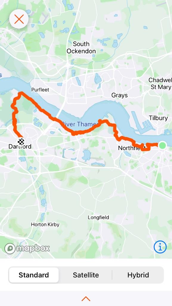
Leaving home just before 9am, I walked to the local railway station and took a nearly empty 10 carriage train to the start point at Erith. The walk didn't start well. On leaving the station I saw a helpful waymark directing me up the hill. It took me about 500 yards to realise that some waggish chap had moved the lamp post pointer to send me in the wrong direction. The sort of thing I can imagine I might have done on a drunken night out several decades ago, and an issue I should have remembered from the Capital Ring eight years ago.
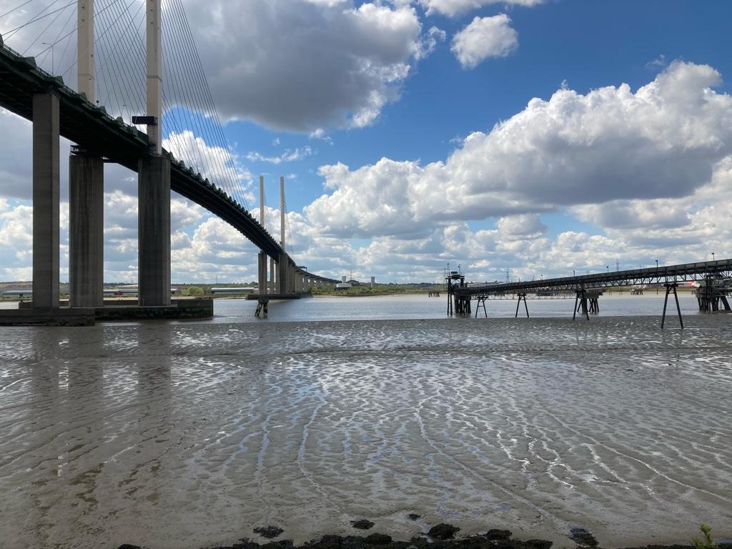
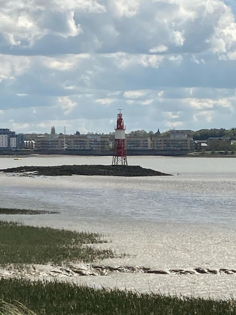
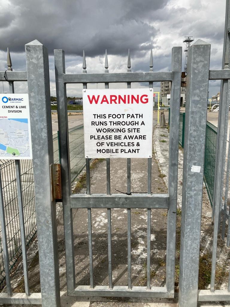
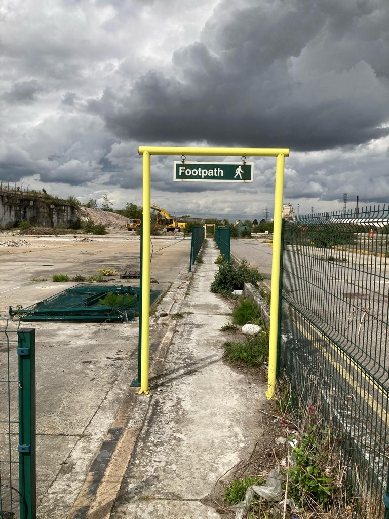
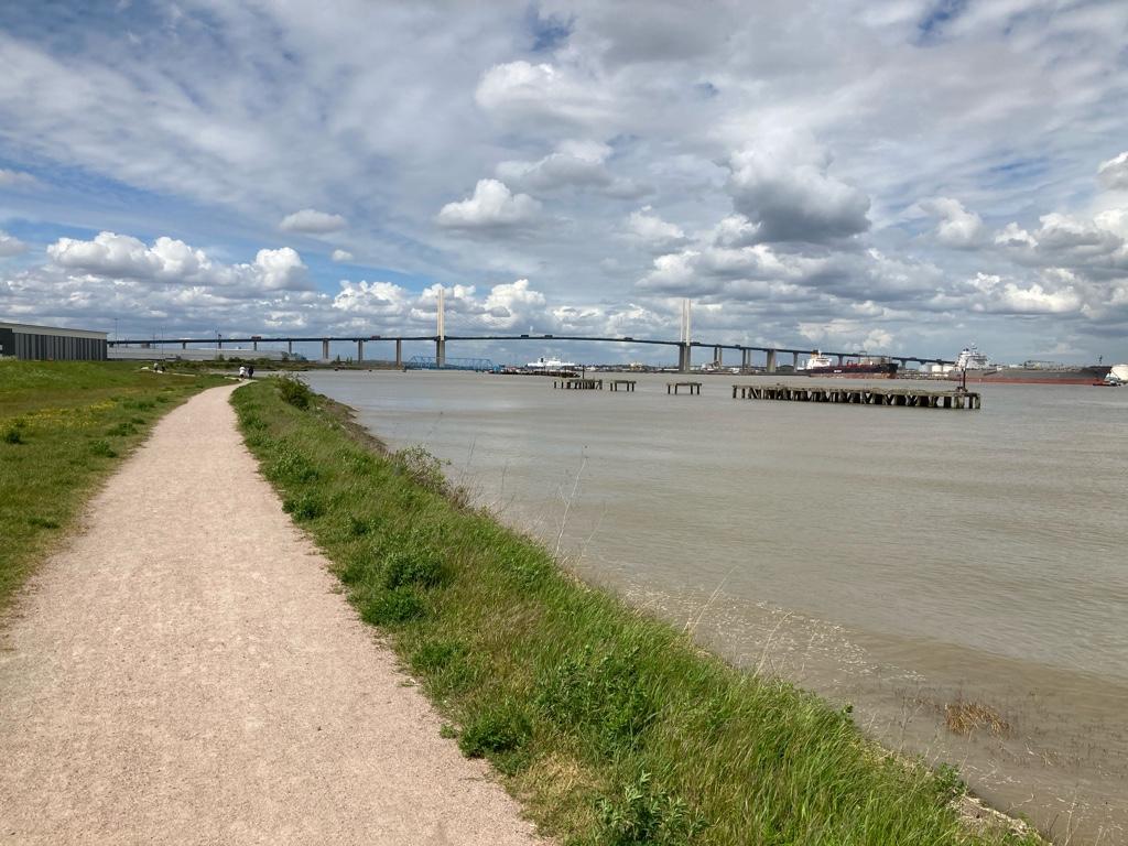
Once on the right track, I found myself on the Erith riverside. Erith is not the most attractive of places: scrap metal merchants and waste sorting depots, with a backdrop of the Queen Elizabeth II bridge.

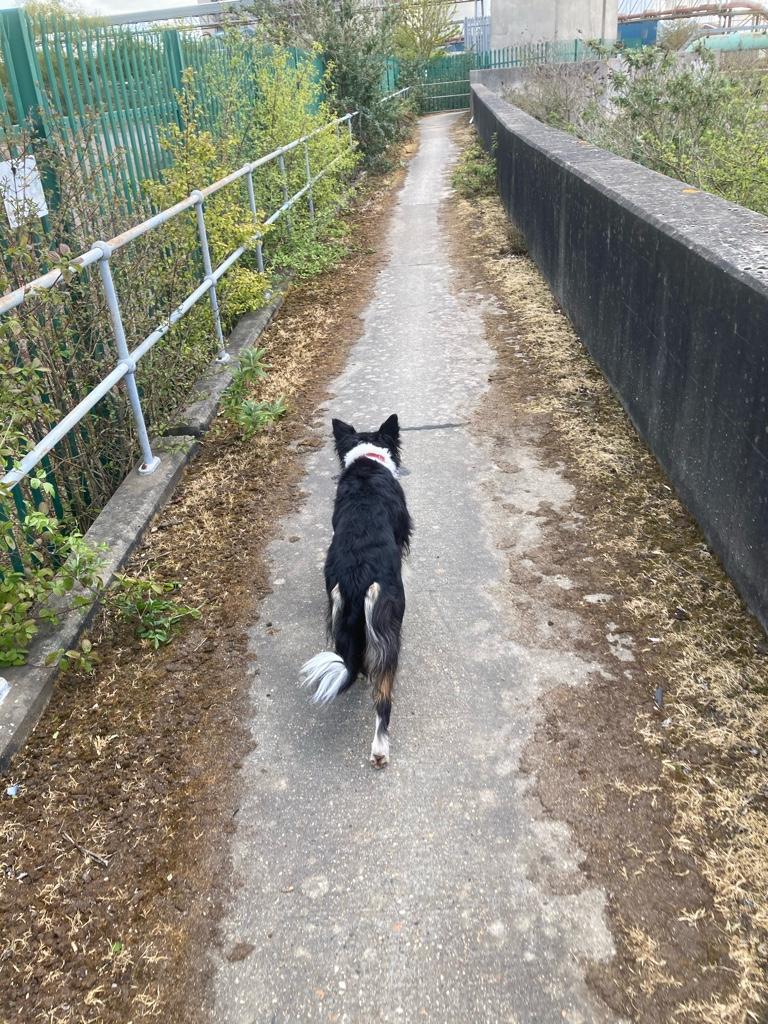
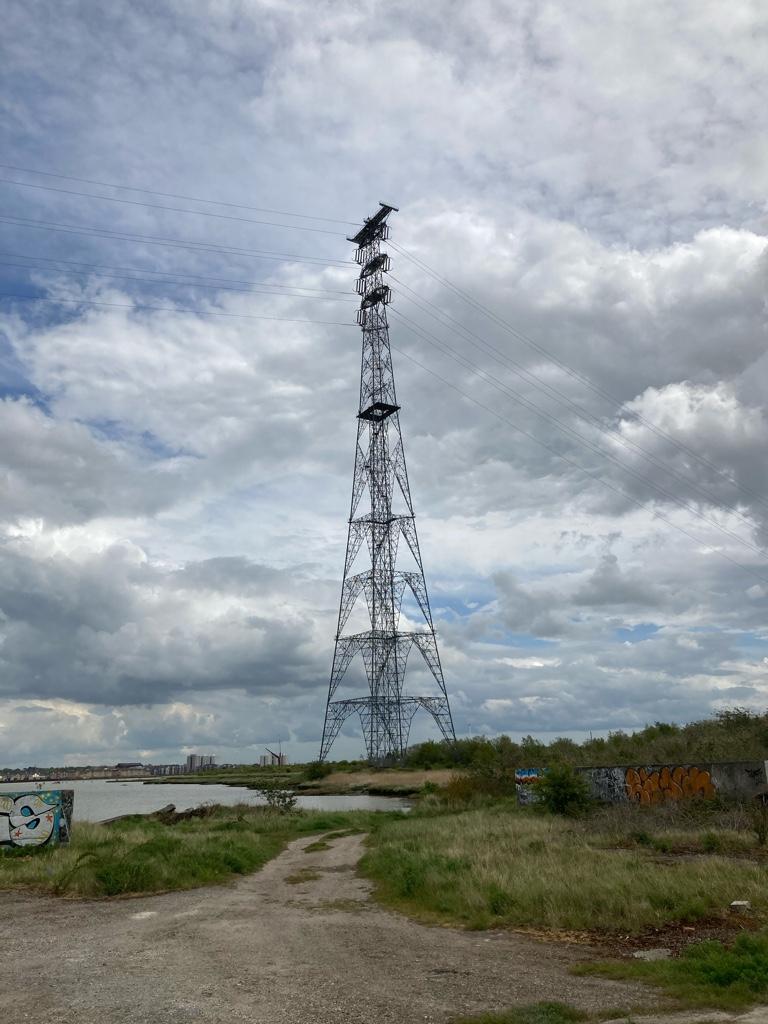
As I left the town, tarmac footpath soon gave way to gravel track, and apart from cormorants and shags on posts in the mud I was alone on the levee along the Thames.
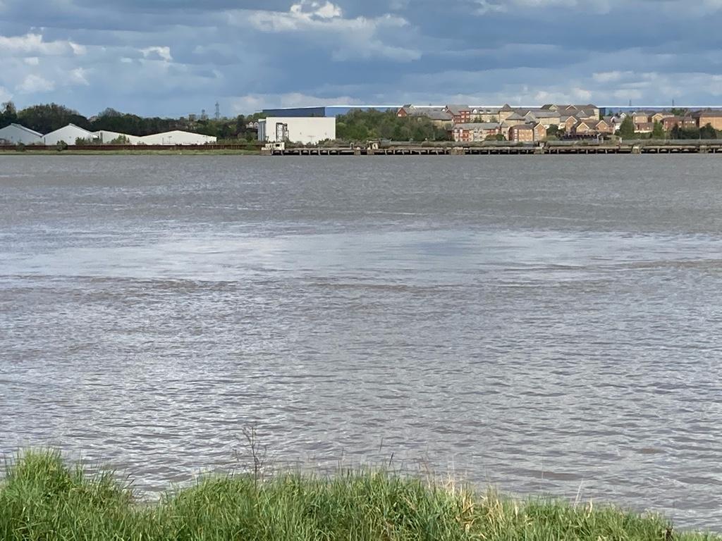
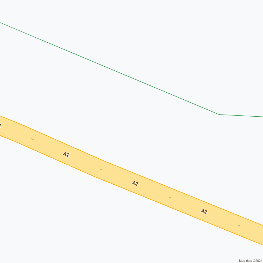
At Dartford Creek I left the Thames, following the River Darent for a short distance to the confluence with the River Cray. Settlements upstream of both tributaries are protected from tidal flooding by the Dartford Creek Barrier. I followed the River Cray as it meandered through the centre of Crayford, shielding me from most of the town, and into the beautiful Hall Palace Park and Gardens. After the park, my route took me up to the A2, alongside the A2, then down again and under alongside the railway line.
 Across some brownfield wasteland, back to the River Cray and into Old Bexley and the first stage of the London Loop was done. I wasn't.
At the beginning of Stage 2 I got lost again. Again by a misdirection of the waymarks - I really don't learn very quickly. Next time I must remember my map and to bring my glasses rather than rely on the waymarkers. I probably wasted 30 minutes trying to find the right route, and in the end I decided to trot along the main road to Footscray Meadows, or Five Arches as it is known locally. The meadows were heaving with families splashing about in the river, and alarmingly several different families mingling as one group. Throughout the lockdown, we have been absolutely meticulous about maintaining distance from our friends, family and neighbours. There is no likelihood that a group of four women in their 30s and seven children can be from one household. Hey ho!
From Footscray Meadows, into Sidcup and past the Coca Cola bottling plant, made famous for its copying Del Boy and bottling tap water then marketing it as "pure water".

However, it's the most popular bottled water in the US.
Across the A20, and into Scadbury Park, a place I regularly walk with the boys and Meg. I took the bus home at 3.30 from the Chislehurst side of Scadbury Park.
About 22 Km (14 miles).
London has three waymarked orbital footpaths.
- The Jubilee Greenway
A 60 Km (38 mile) footpath and cycle route around central, east and southeast London
It can be completed by bike in a single day
It can be completed as a figure of eight, crossing the Thames as the Woolwich Foot Tunnel or Woolwich ferry, the Hilton to Canary Wharf Ferry and Westminster Bridge

- The Capital Ring
A 126 Km (78 mile) footpath, more or less following the boundary between inner and outer London and the route of the North and South Circular Roads.
I completed the circuit over six consecutive Mondays in February and March 2012. If I recall correctly it rained relentlessly during that period.
It connects urban parks, playing fields and cemeteries via residential streets, canal and river tow paths and alongside rail lines.

- The London Loop
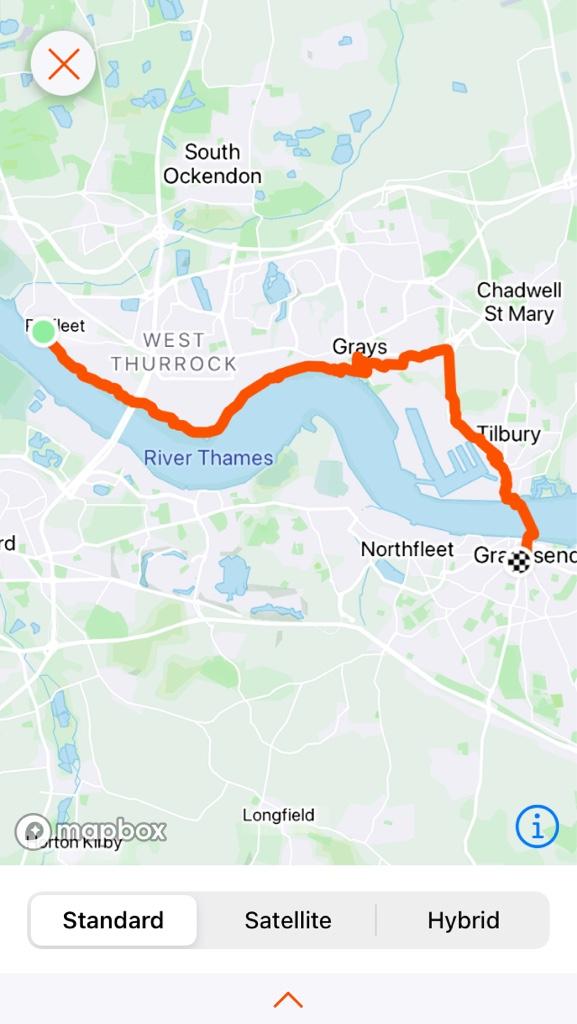
A 242 Km (150 mile) footpath through London's Green Belt, I think wholly within the M25, but with forays out of London.
It is not a complete loop as it is impossible to cross the Thames as a pedestrian at its start and finish point (cyclists are transported free of charge across the Thames at the bridge or tunnel at Dartford by the Highways Agency).

Leaving home just before 9am, I walked to the local railway station and took a nearly empty 10 carriage train to the start point at Erith. The walk didn't start well. On leaving the station I saw a helpful waymark directing me up the hill. It took me about 500 yards to realise that some waggish chap had moved the lamp post pointer to send me in the wrong direction. The sort of thing I can imagine I might have done on a drunken night out several decades ago, and an issue I should have remembered from the Capital Ring eight years ago.
Once on the right track, I found myself on the Erith riverside. Erith is not the most attractive of places: scrap metal merchants and waste sorting depots, with a backdrop of the Queen Elizabeth II bridge.
As I left the town, tarmac footpath soon gave way to gravel track, and apart from cormorants and shags on posts in the mud I was alone on the levee along the Thames.
At Dartford Creek I left the Thames, following the River Darent for a short distance to the confluence with the River Cray. Settlements upstream of both tributaries are protected from tidal flooding by the Dartford Creek Barrier. I followed the River Cray as it meandered through the centre of Crayford, shielding me from most of the town, and into the beautiful Hall Palace Park and Gardens. After the park, my route took me up to the A2, alongside the A2, then down again and under alongside the railway line.
At the beginning of Stage 2 I got lost again. Again by a misdirection of the waymarks - I really don't learn very quickly. Next time I must remember my map and to bring my glasses rather than rely on the waymarkers. I probably wasted 30 minutes trying to find the right route, and in the end I decided to trot along the main road to Footscray Meadows, or Five Arches as it is known locally. The meadows were heaving with families splashing about in the river, and alarmingly several different families mingling as one group. Throughout the lockdown, we have been absolutely meticulous about maintaining distance from our friends, family and neighbours. There is no likelihood that a group of four women in their 30s and seven children can be from one household. Hey ho!
From Footscray Meadows, into Sidcup and past the Coca Cola bottling plant, made famous for its copying Del Boy and bottling tap water then marketing it as "pure water".
However, it's the most popular bottled water in the US.
Across the A20, and into Scadbury Park, a place I regularly walk with the boys and Meg. I took the bus home at 3.30 from the Chislehurst side of Scadbury Park.
About 22 Km (14 miles).

.JPG")


.JPG")
.JPG")
.JPG")

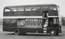
 I'm really not used to these semi rural bus services.


.jpg")
.JPG")