

ArcticMatt
VIP Member
Hello,
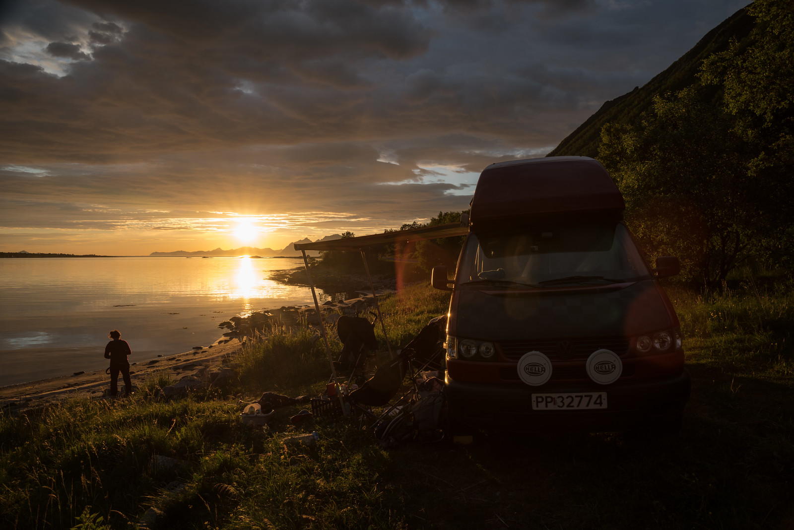
We've just got back from a week travelling through the amazing Lofoten and Vesterålen archipelago. Its easy for us lot as we live near Bodø where the ferry leaves for the very end of the Loften and saves us the thousands of kms travel from the UK. Don’t let this put you off if you do plan on coming.
We took the ferry over from Bodø to Moskenes which was about 910NOK with one passenger and under 4s are free (the driver is always included with the price of the van). The ferry was brand new and the facilities are brilliant.
We spent 3 nights at Fredvang camping just north of Reine, which was a handy base for that area of Lofoten. It was only 210NOK per night and there was loads of space. We met this couple from Manchester in a brand new T6 conversion who just blasted all the way up in three days and were amazed how beautiful it was.
We spent a night at Eggum beach which charges 100NOK to stop the night there. There was no showers but you had full use of the café toilets. It was a short walk to the Sculpture at the end of the headland which was part of the Nordland Skulpturlandskap project which let each Kommune have their own sculpture.
We wild camped before the ferry from Fiskebøl to Melbu which take you over to the centre of Vesterålen (which I think is better in some ways than Lofoten). This was the old main route into Lofoten by road before they complete the main E10 road from Gullesfjord. This takes you over to Stokmarkenes where the Hurtigruten museum is and then onto Sortland (the blue city) where a local artist pursued the town to paint a lot of the buildings in certain shades of blue. We’ve also spent a lot of time in Sortland before as my partner has a public art installation in the towns Kulturfabriken which is still hanging pride of palce in the foyer.
Hope it might inspire some you guys to travel up
 Arctic Sun
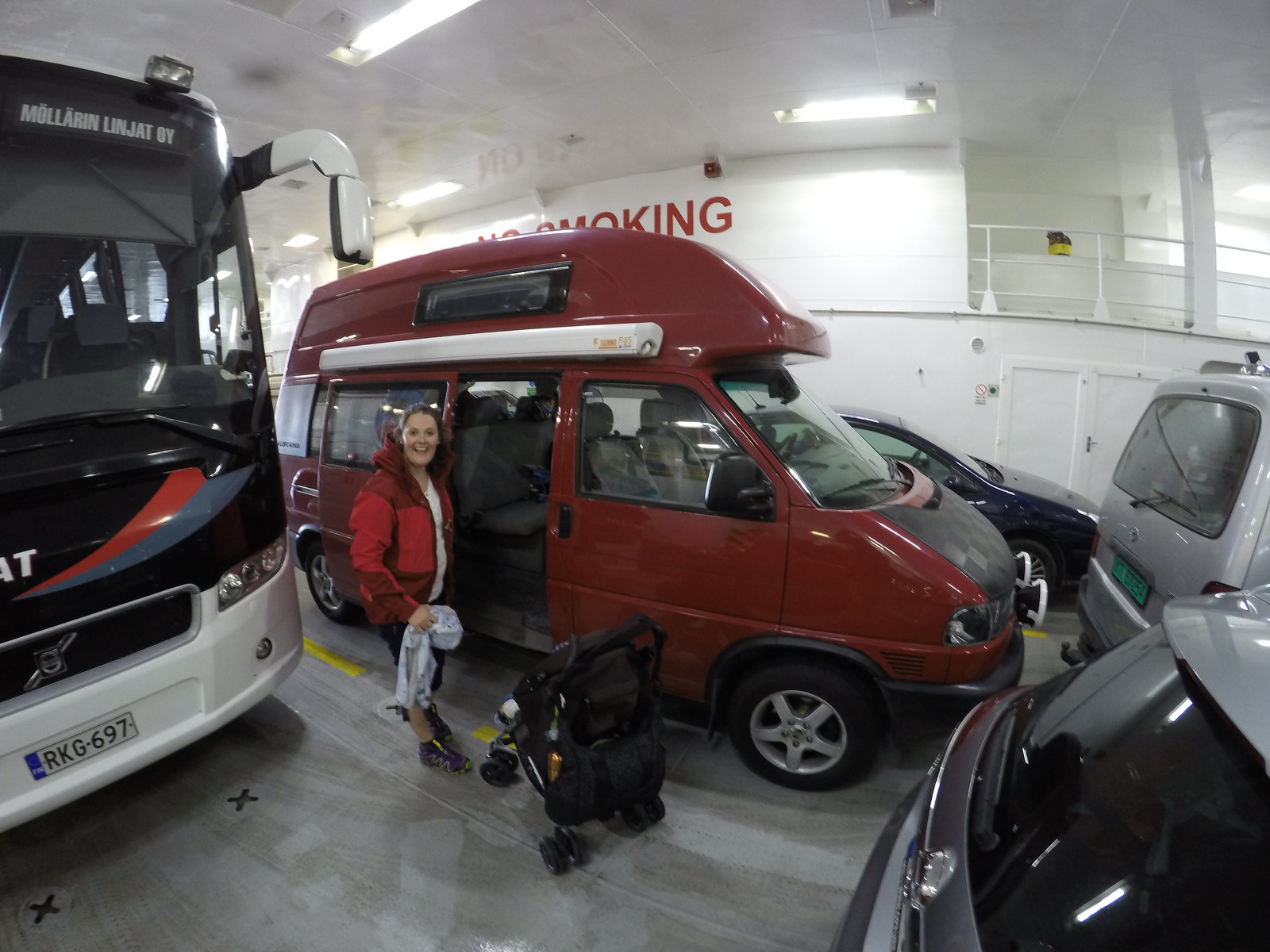 Untitled
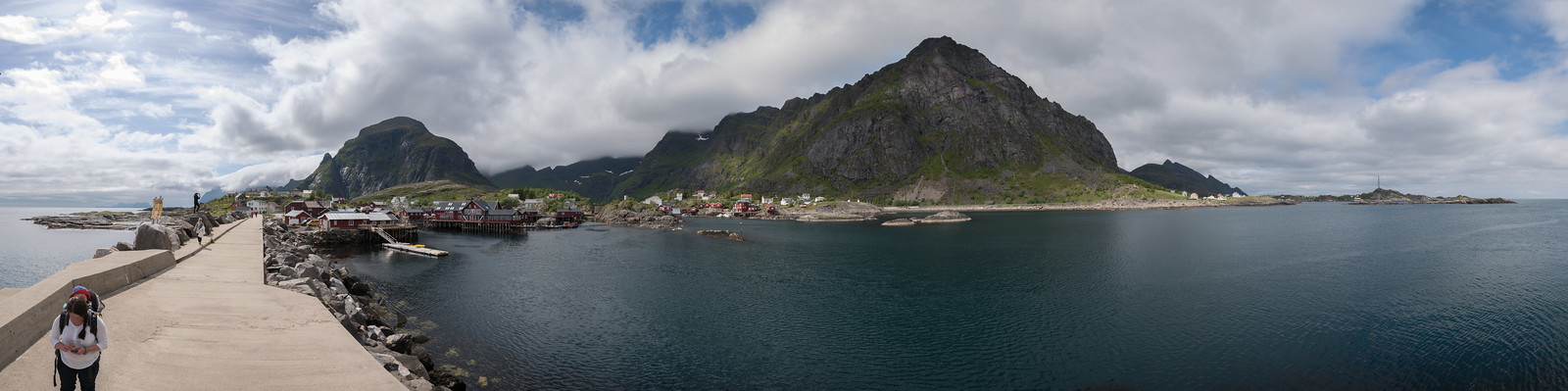 Untitled
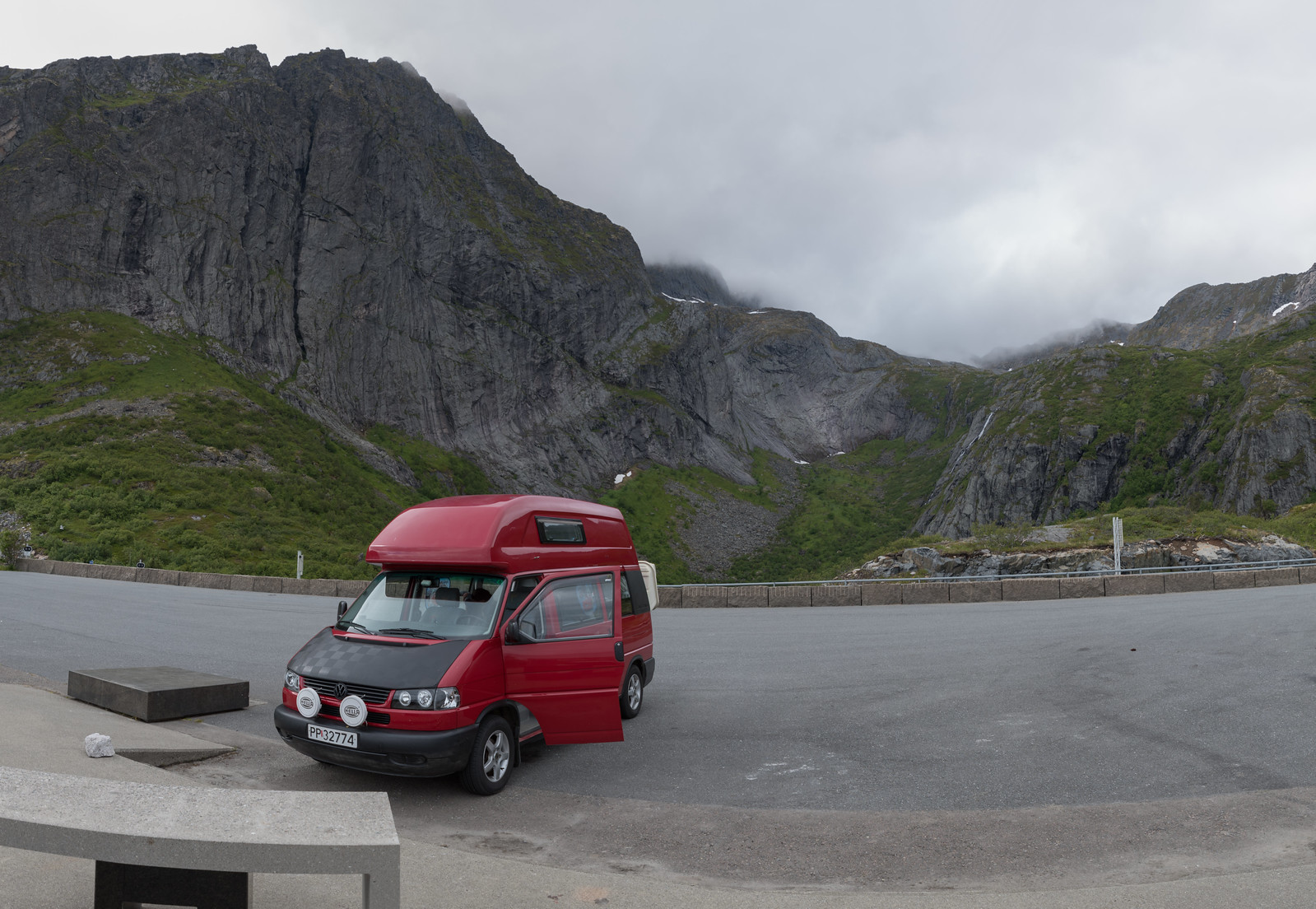 Untitled
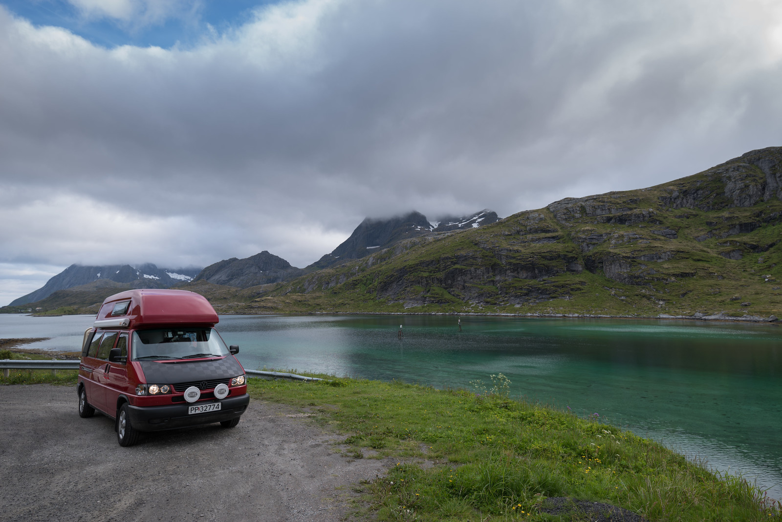 Untitled
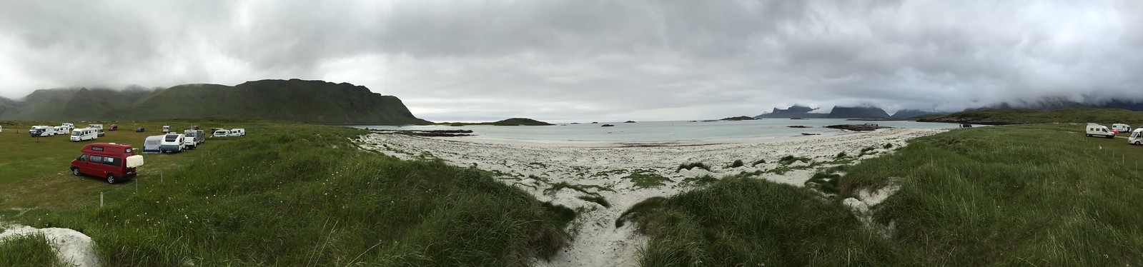 Untitled
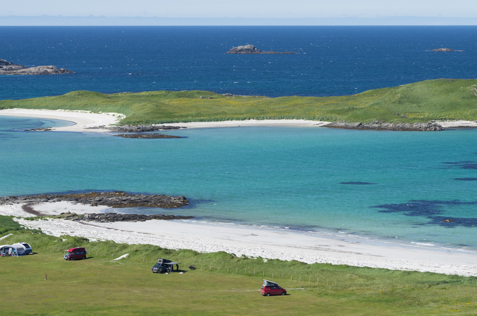 Untitled
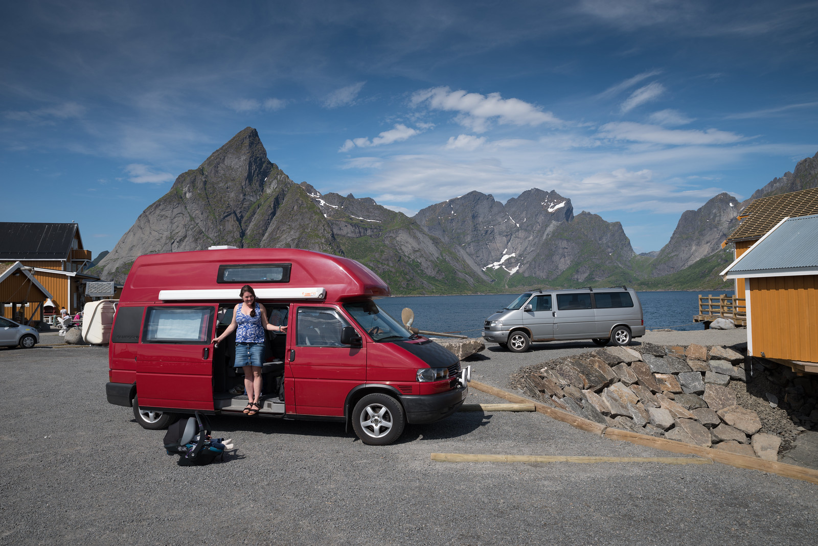 Untitled
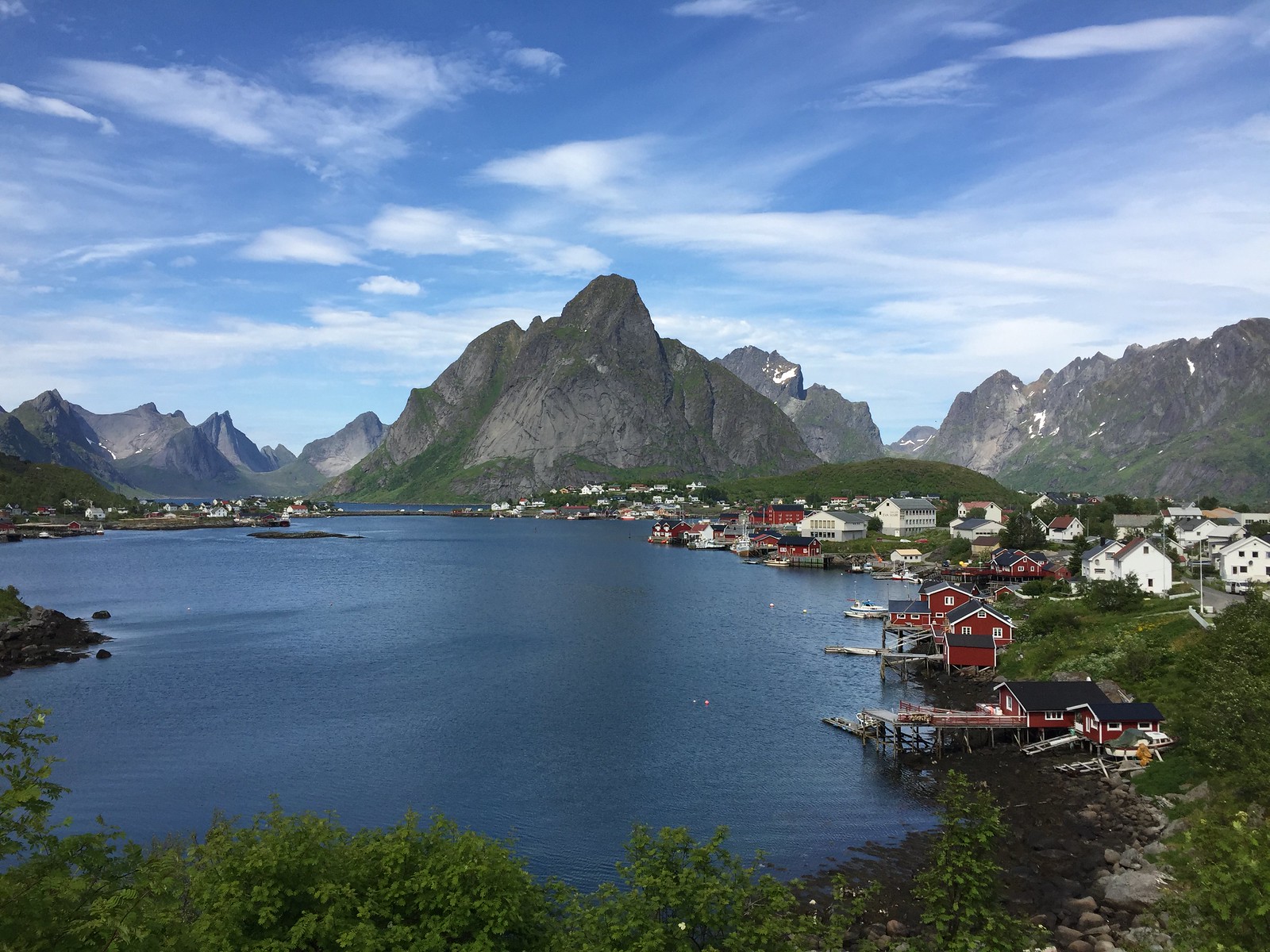 Untitled
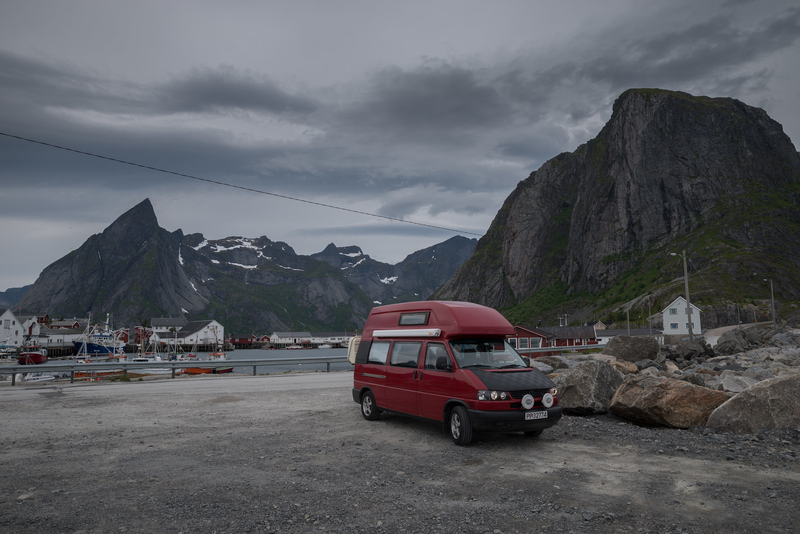 Untitled
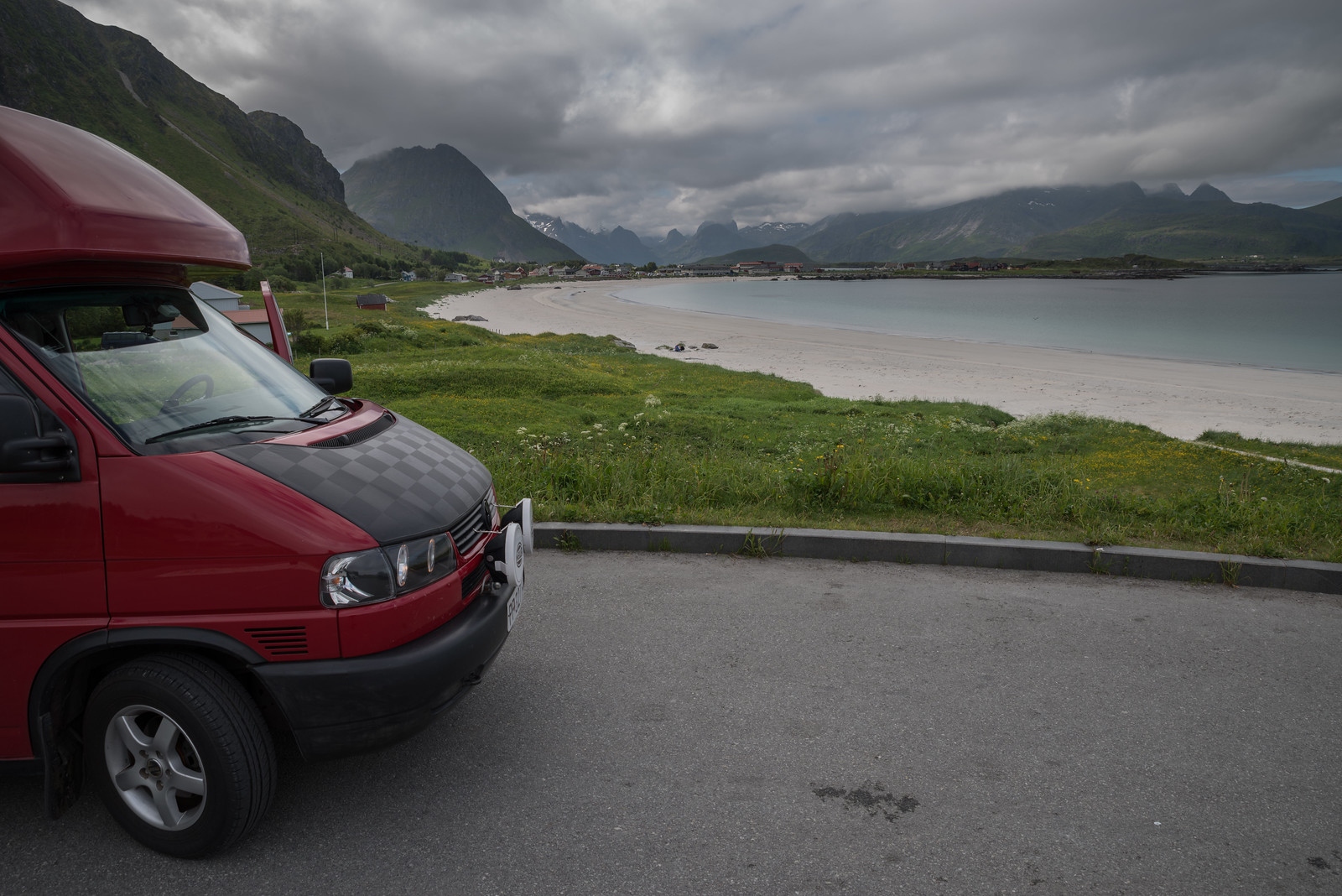 Untitled
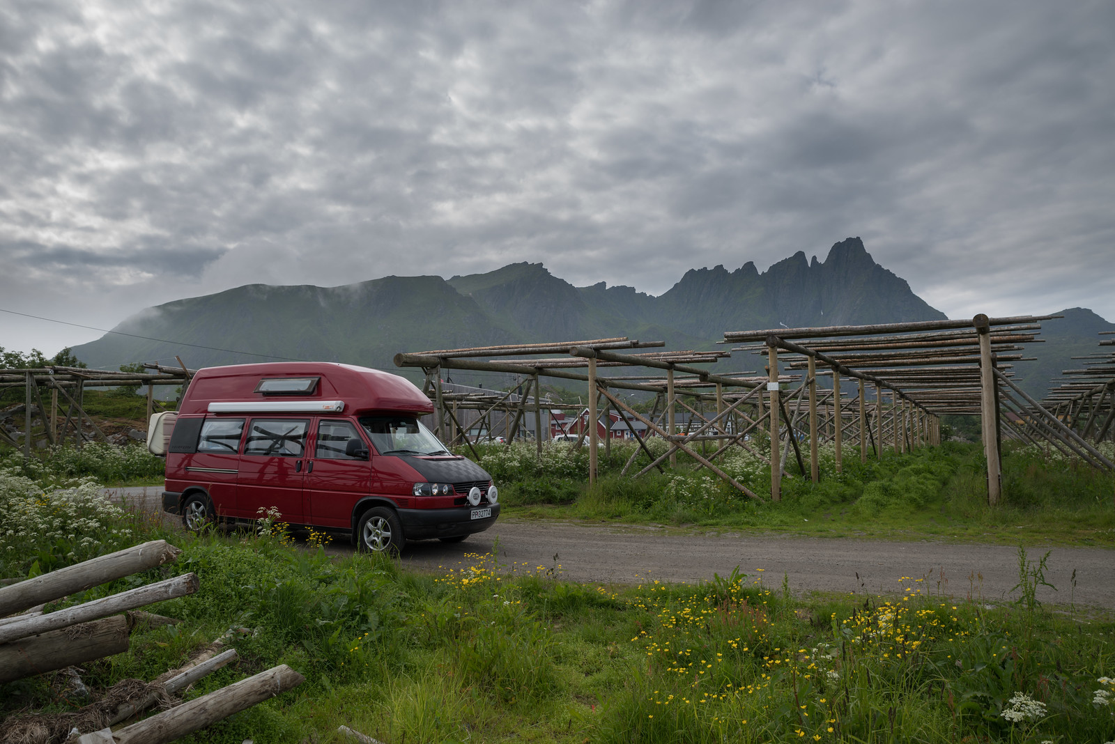 Untitled
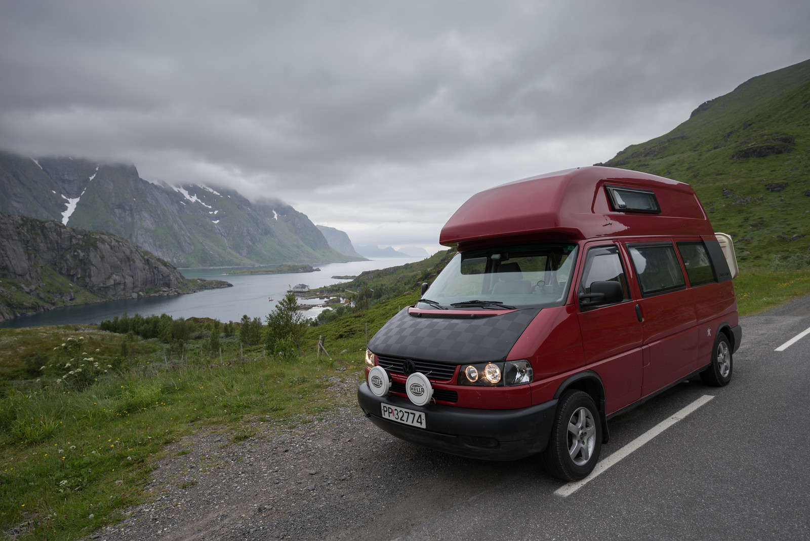 Untitled
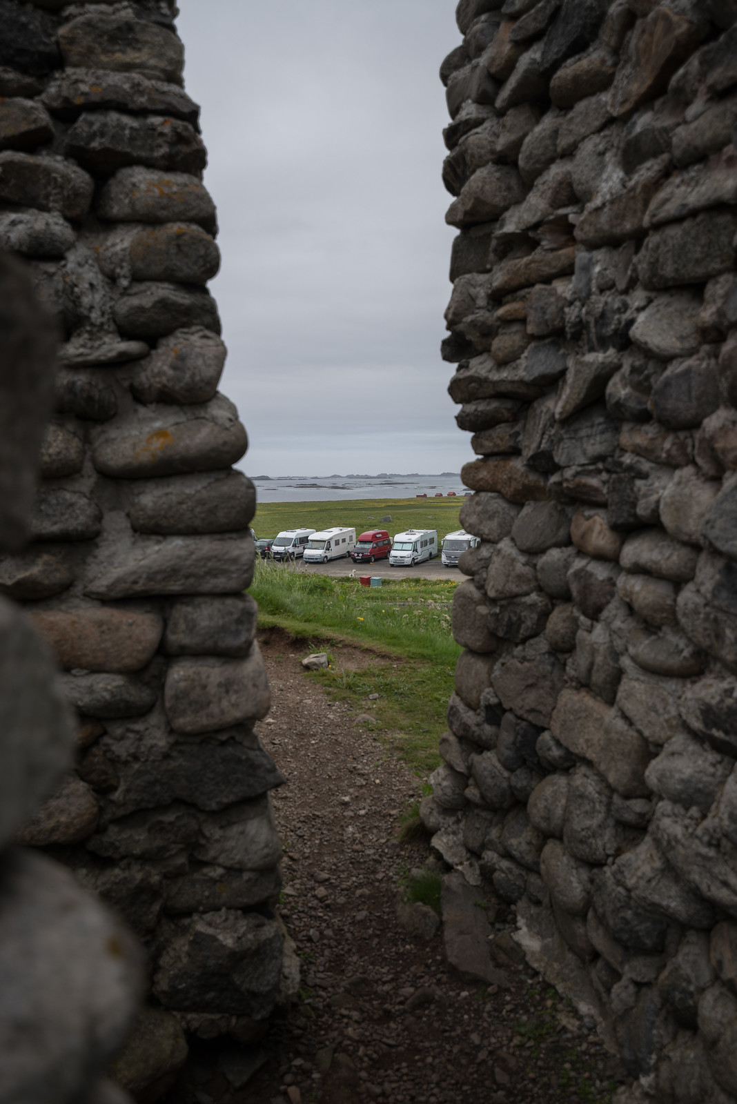 Untitled
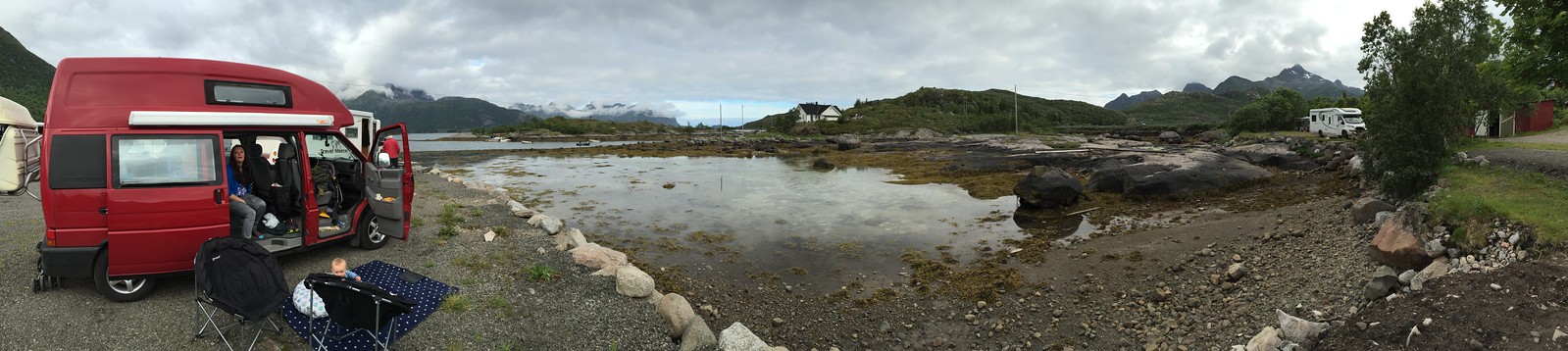 Untitled
 Untitled
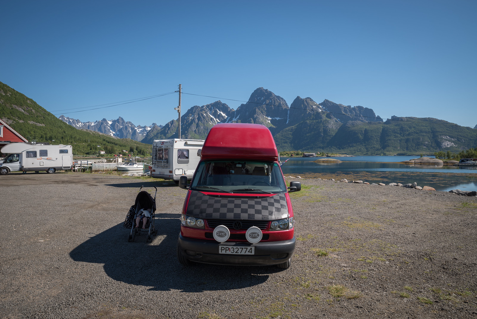 Untitled
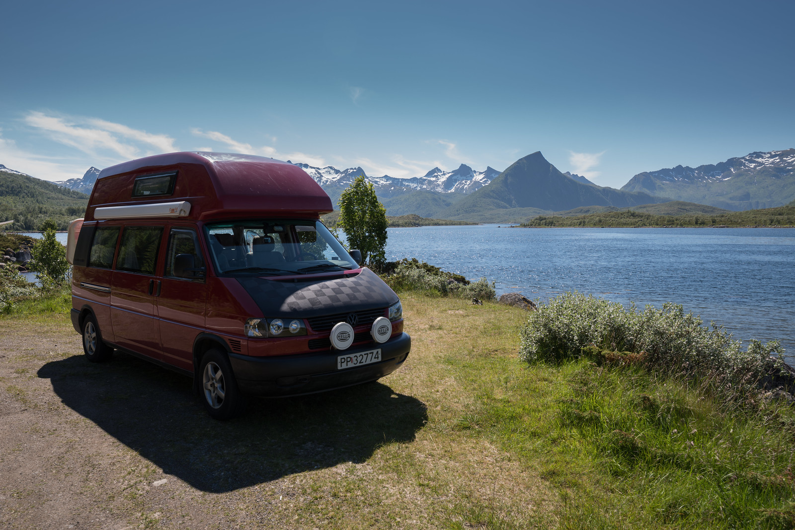 Untitled
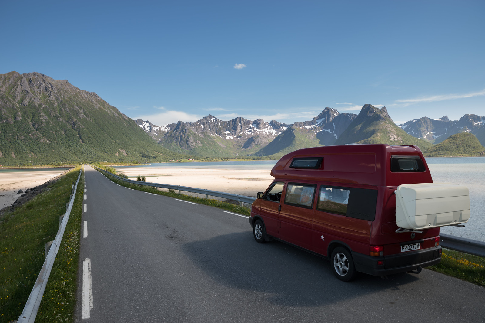 Untitled
 Untitled
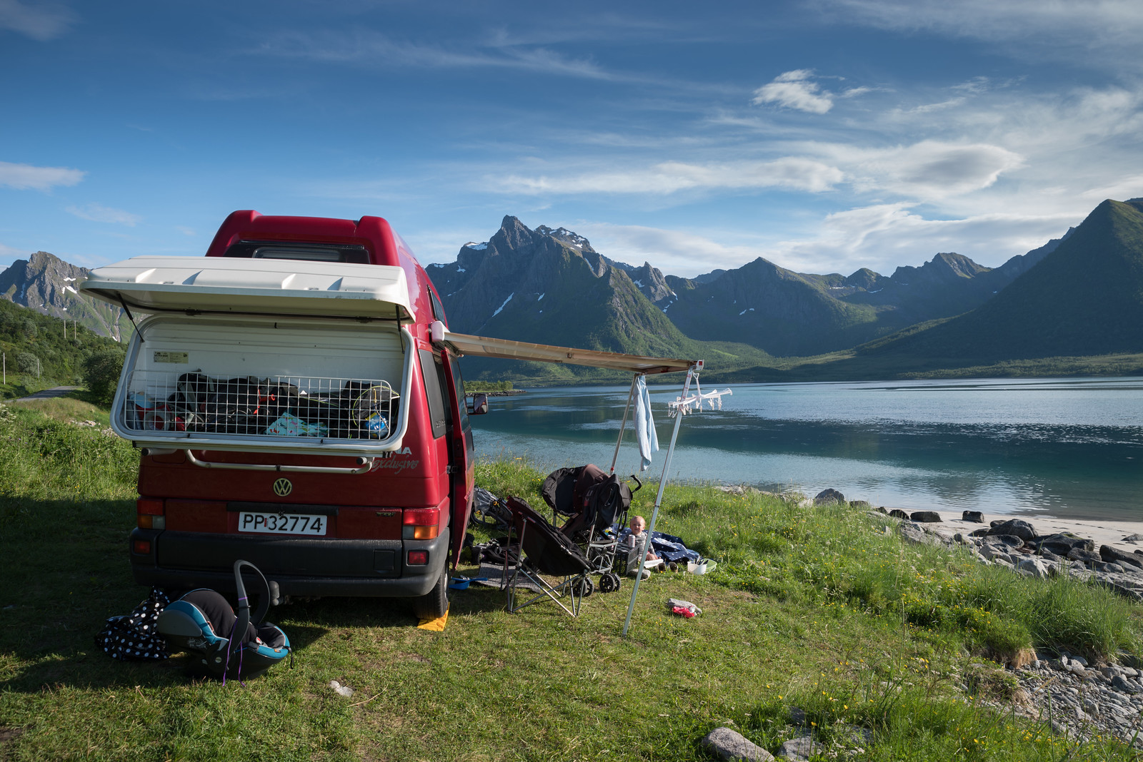 Untitled
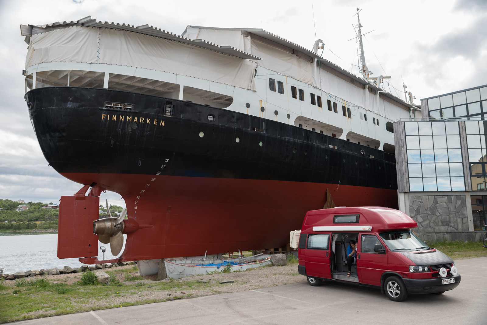 Untitled
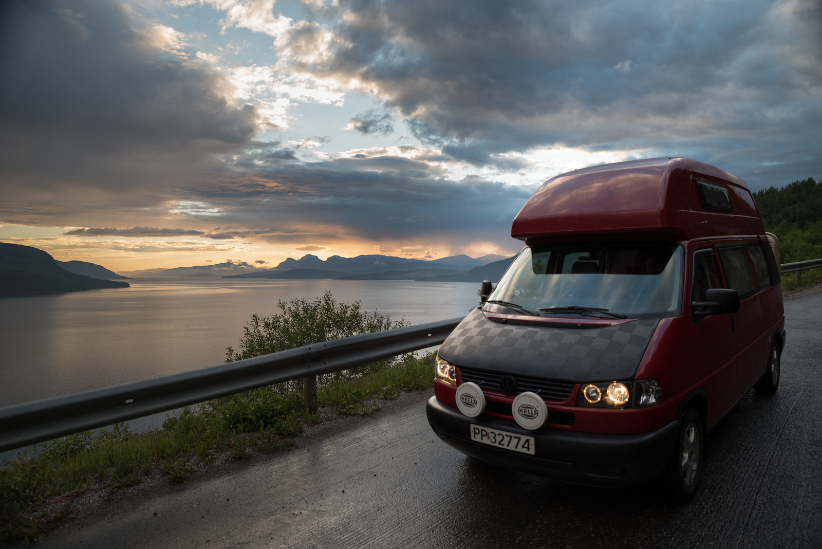 Untitled
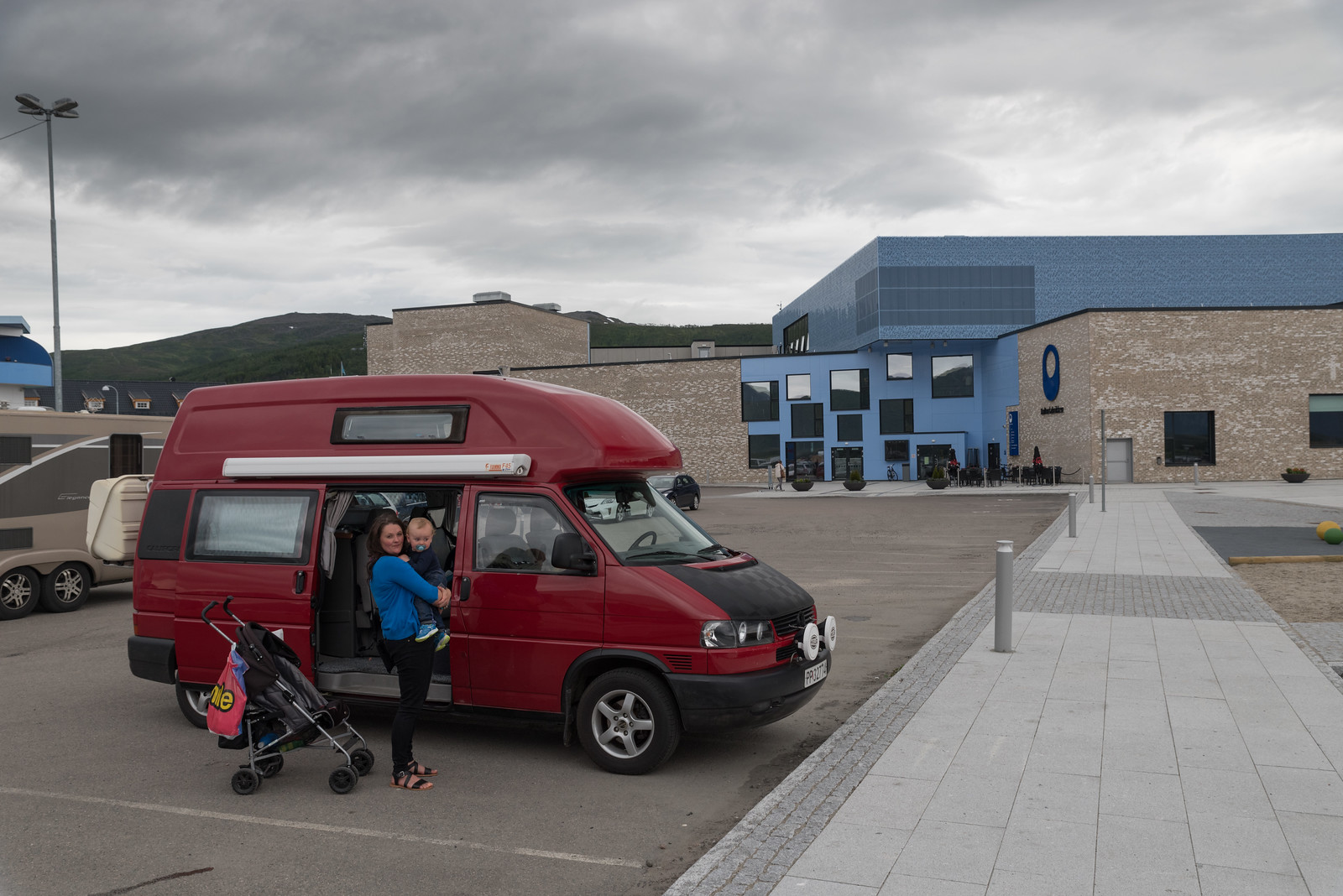 Untitled
")